My Updated Tuesday Night Forecast — January 13th, 2026

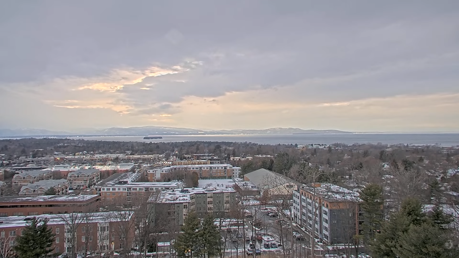
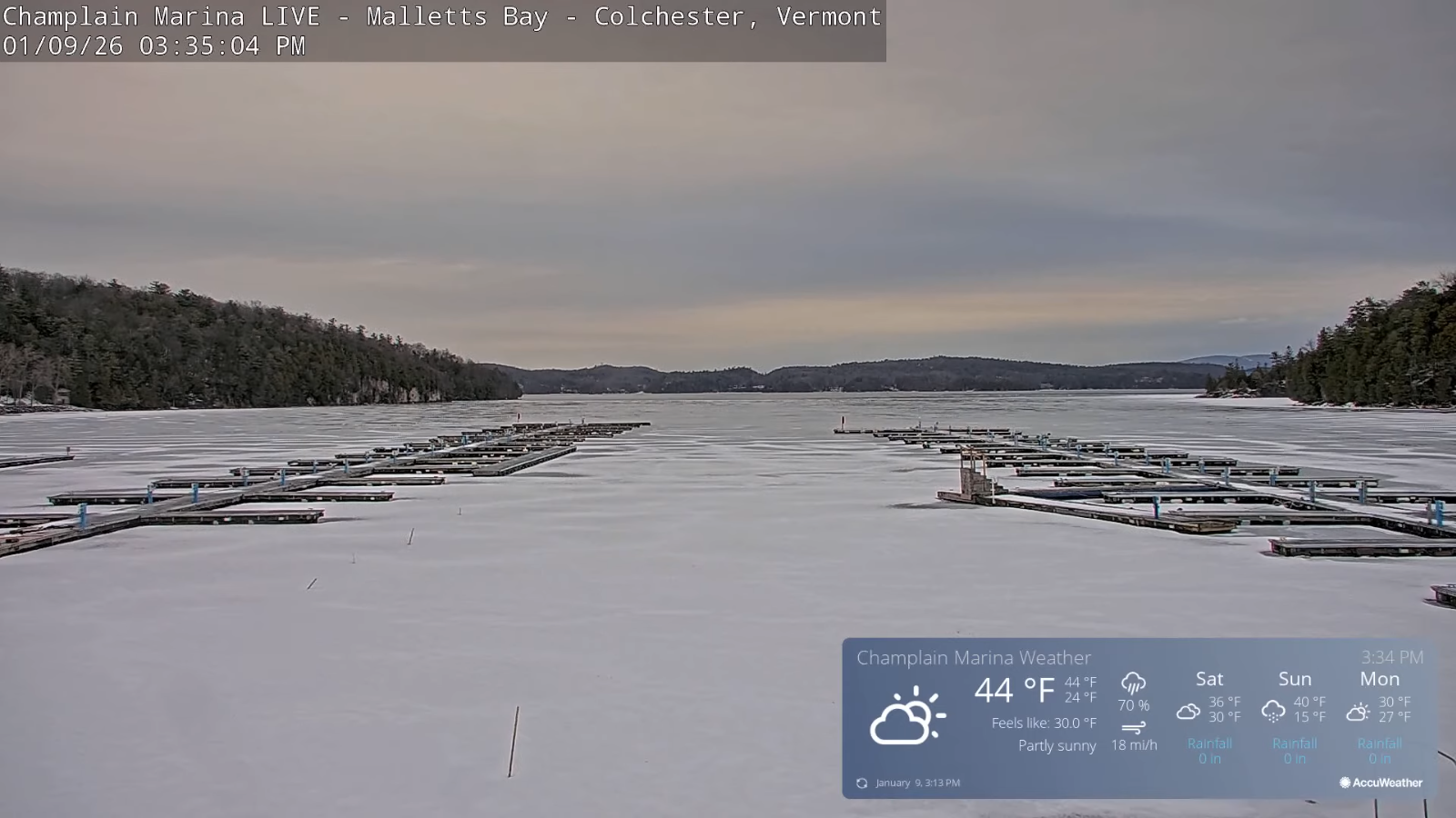
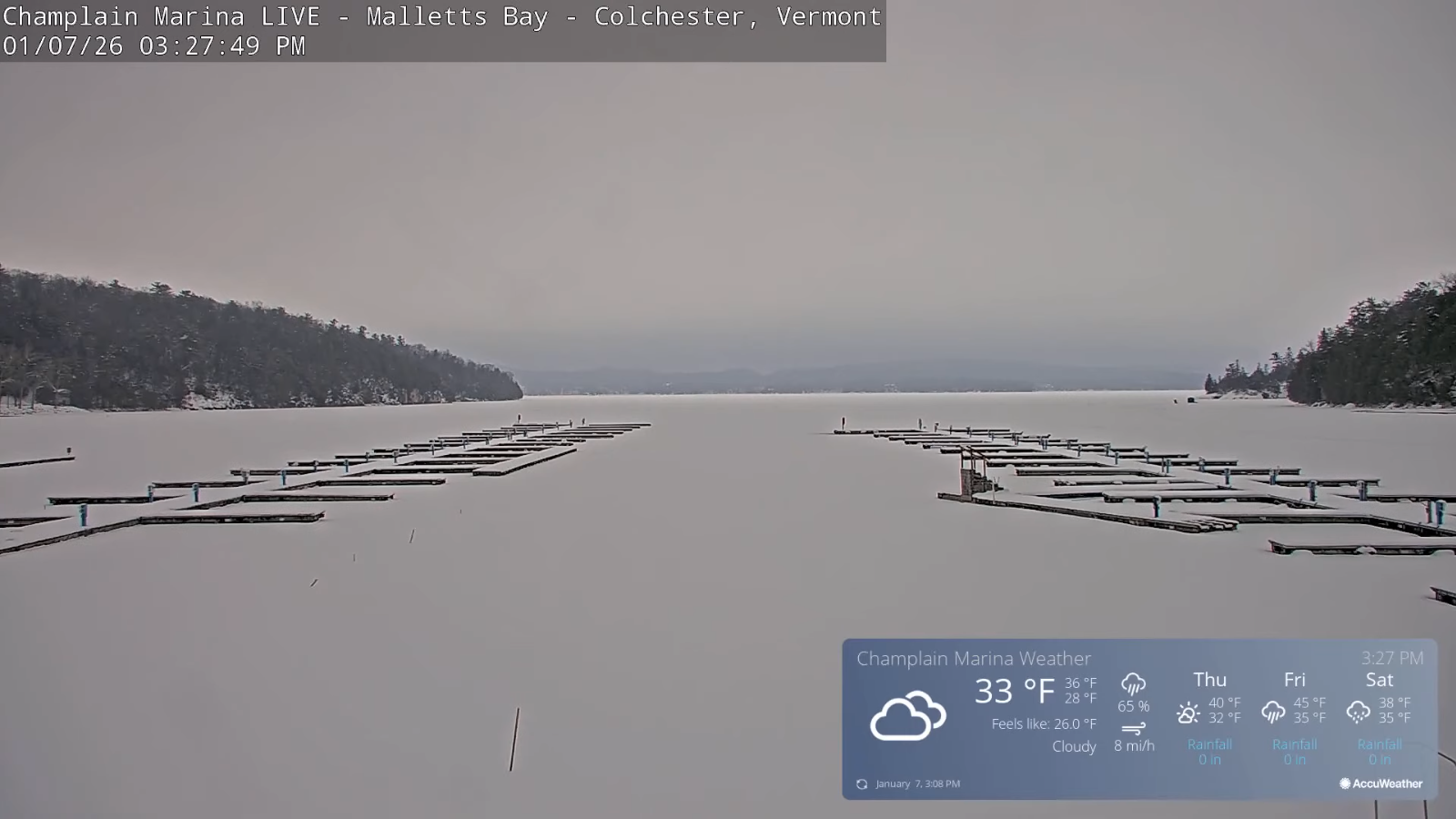
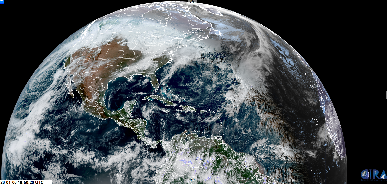
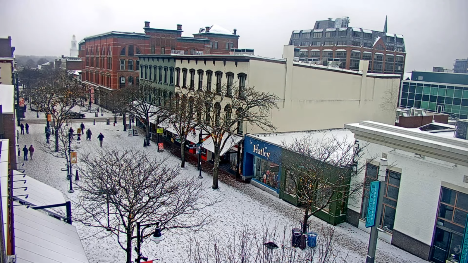
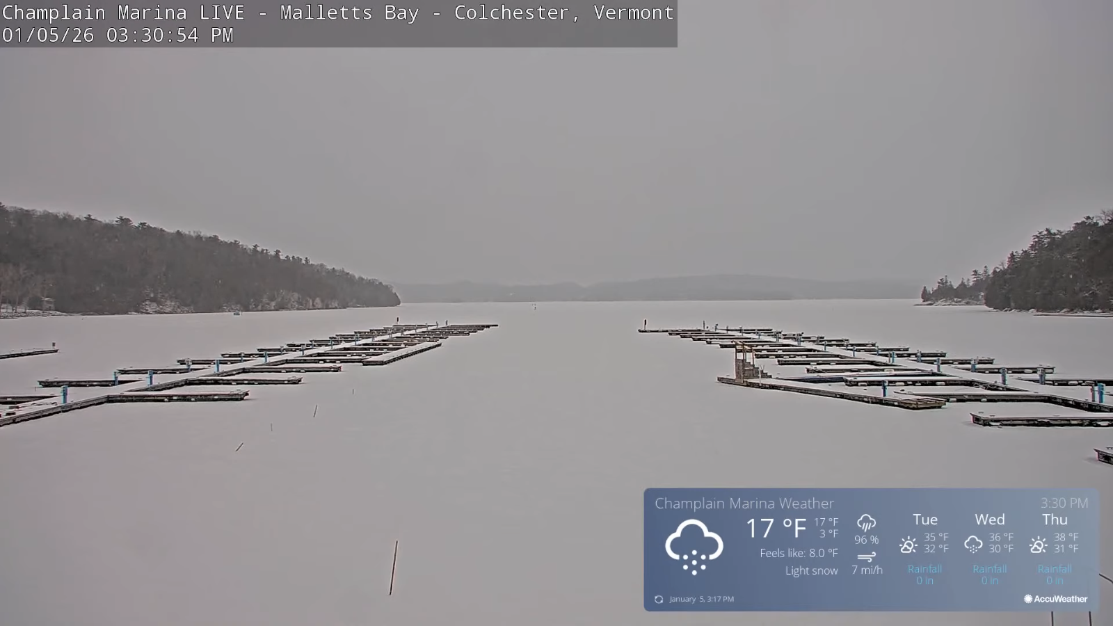
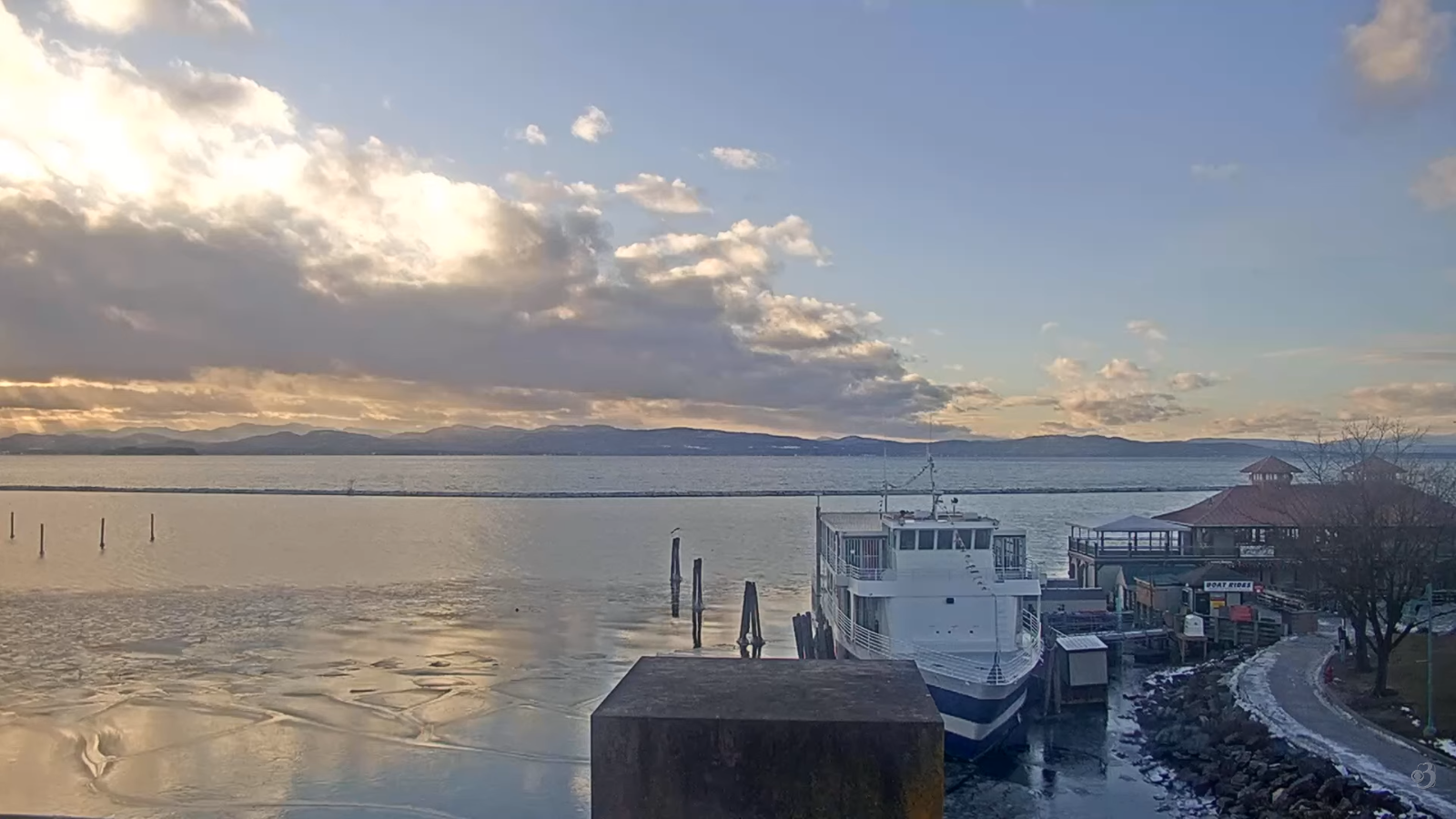
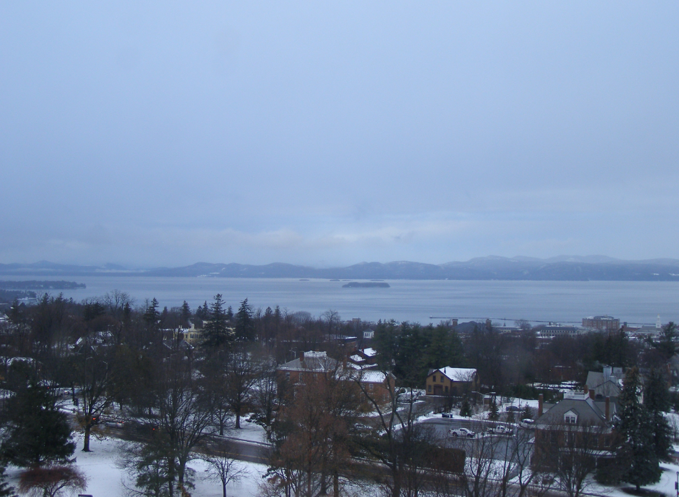
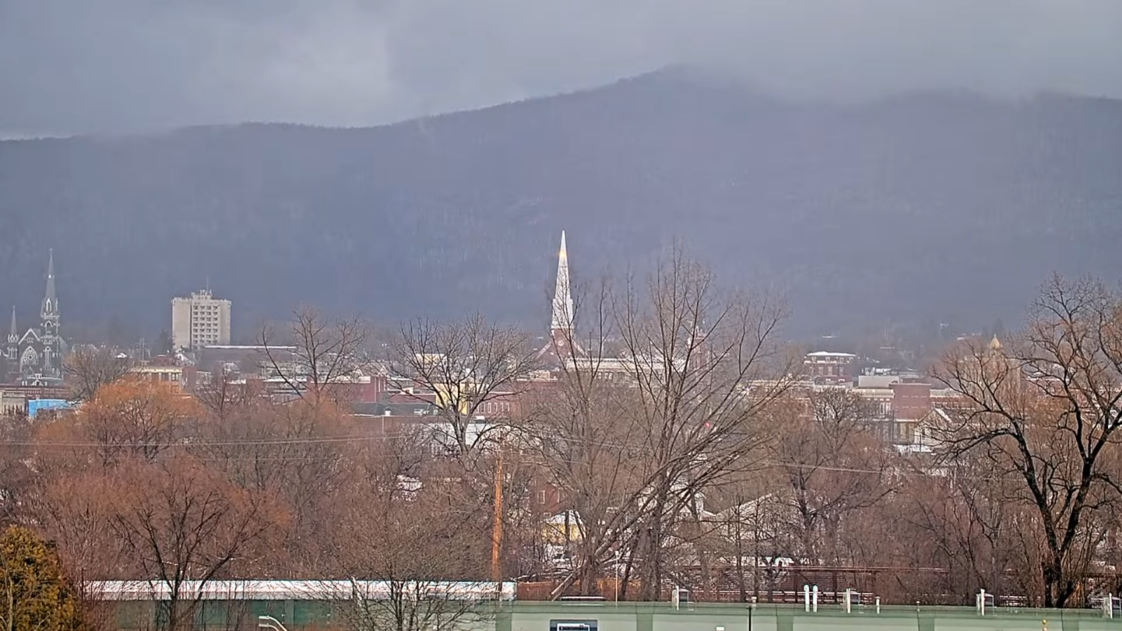
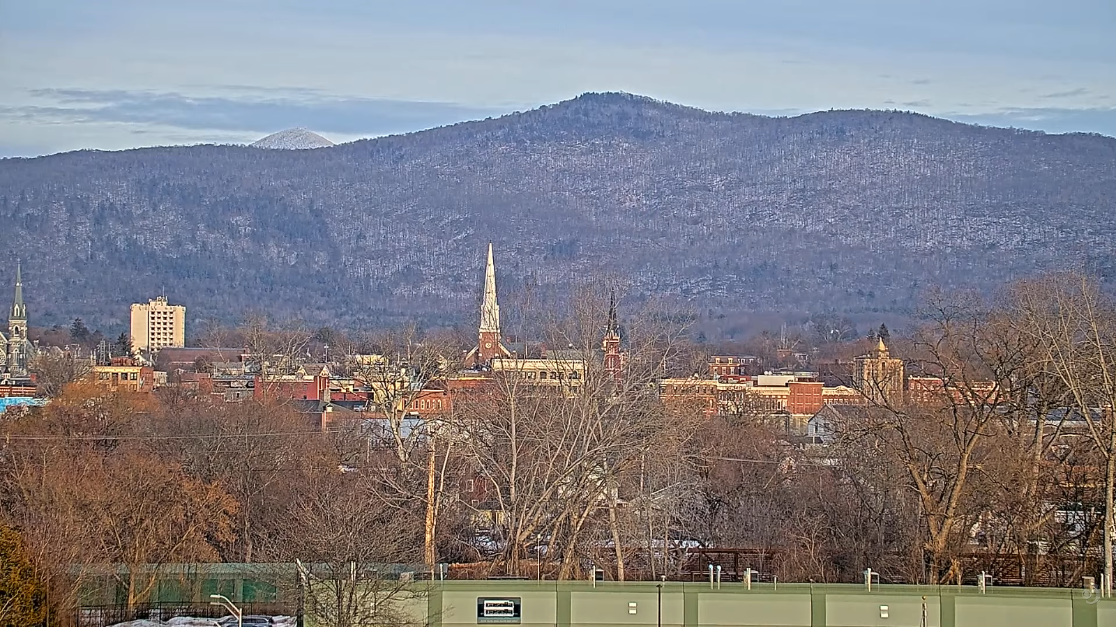
Roger Hill’s Radio Vermont Forecast 3:00 PM TUESDAY 1-13-26

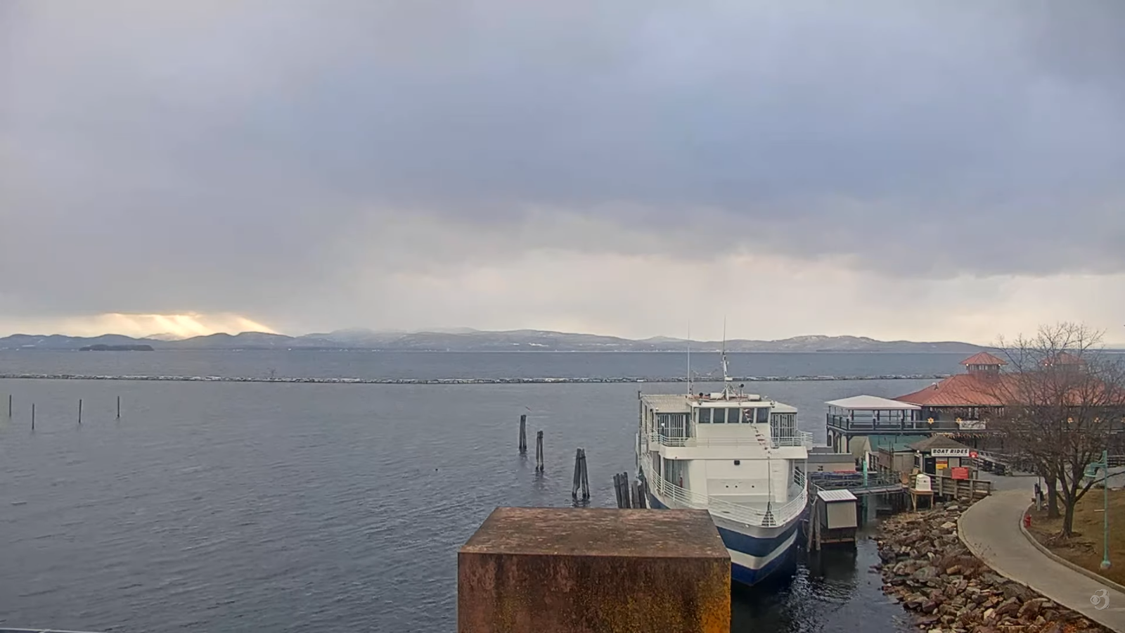
TONIGHT: Considerable clouds. A round flurries works through northern area later this evening dries up before daybreak. A low in the lower 30s. South winds 10 to 15 mph…stronger Lake Champlain.

TOMORROW: Gray. Maybe a sprinkle southern areas in the afternoon. Milder, a high reaching the low 40s. Southwest winds 10 mph breezier near the lake.

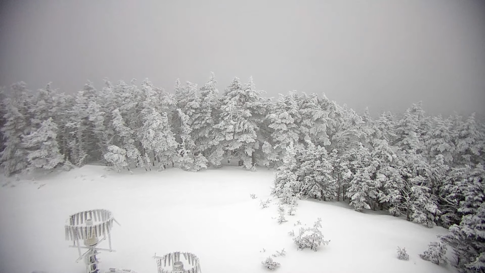
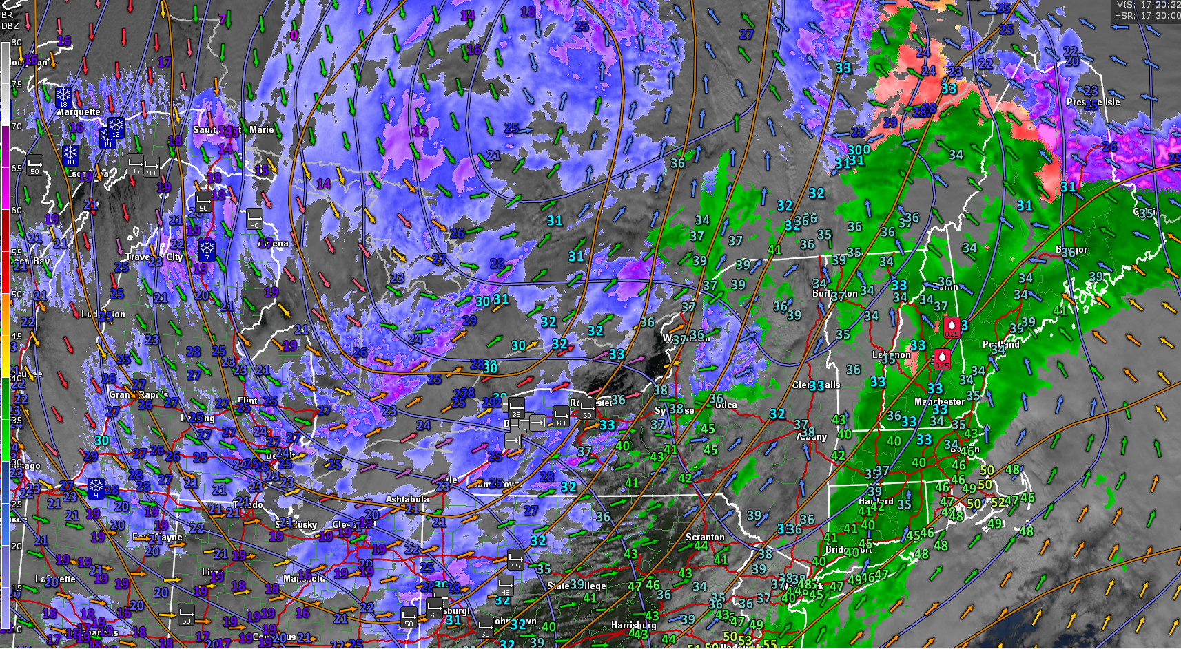
WEDNESDAY NIGHT: Overcast. Periods of wet snow or rain showers likely. Dusting western areas, with 1 to locally slushy 3” northern eastern Vermont. A low about 30. Light east winds.

THURSDAY: Considerable clouds. Periods of accumulating wet snow…moderate at times northern areas in the morning taring to scattered flurries in the afternoon. A dusting to locally 2” mainly western areas. An early high near 32, colder into the afternoon northern/western areas. Light variable winds.

Looking further ahead

THURSDAY NIGHT: Cloudy. Scattered snow showers or flurries especially northern areas with a light coating. Risk for snow squalls. Lows zero to 5 above.

FRIDAY: Any early flurries exit, otherwise periods of sunshine. A high 10 to 15.

SATURDAY: Intervals of sunshine clouds lingering near the mountains. Chance for flurries with minor coatings. Lows single digits. Highs 30 to 35.

SUNDAY: Mainly cloudy. Scattered snow showers or flurries. Minor accumulation. Lows upper teens. Highs 25 to 30.

Average low: zero to 10. Average high mid to upper 20s.

Approximate peak of winter or halfway point – January 22nd

RH/1-13/forecast][end] Fox Trot Delta Tango

My Updated Monday Night Forecast — January 12th, 2026

Roger Hill’s Radio Vermont Forecast 3:00 PM MONDAY 1-12-26

TONIGHT: Mostly cloudy.Scattered northern mountain flurries with a minor coating. A low in the middle 20s. Southwest winds 10 mph falling off overnight.

TOMORROW: Clouds maybe a break of sun, with possible stray flurries. A high around 35. Light south to southwest winds but breezier Lake Champlain.

TUESDAY NIGHT: Considerable clouds. An early low 30 to 32 warming some overnight. South winds 10 to 20 mph…stronger Lake Champlain.

WEDNESDAY: Generally gray with a break of sun. A high reaching near 40. Southwest winds 10 to 20 mph stronger near the lake.

Looking further ahead

WEDNESDAY NIGHT: Overcast. Rising chance for light wet snow or rain shower activity. Dusting western areas up to couple slushy inches Ct. River Valley. A low in the low 30s.

THURSDAY: Mainly cloudy. Scattered snow showers with a risk of a snow squall. A dusting to locally 2” mainly western areas. An early high near 32 degrees…colder into the afternoon.

FRIDAY: Partly to mostly sunny. Lows 5 below to 5 above. A high around 15.

SATURDAY: More clouds than sun. A few stray flurries northern areas. Lows 5 to 10 above. Highs about 25 to 32.

Average low: zero to 10. Average high mid to upper 20s.

Approximate peak of winter or halfway point – January 22nd

RH/1-9/forecast][end] Fox Trot Delta Tango

My Updated Friday Night Forecast — January 9th, 2026

Roger Hill’s Radio Vermont Forecast 3:00 PM FRIDAY 1-9-26

TONIGHT: Mostly cloudy. Scattered light rain showers drying up overnight. Blustery. Temperatures peak around 45 this evening…then falling into the upper 20s by sun-up. Southwest winds shifting to northwesterly 10 to 20 mph.

TOMORROW: Filtered sun through high cloudiness. A high near 35. Light north winds.

SATURDAY NIGHT: Cloudy. A wintry mix becoming likely, mostly as wet snow northern areas. Accumulation dusting with 2 to 3” northern areas. An early low around 30. East to southeast winds 10 mph.

SUNDAY: Scattered morning mixed precipitation, with wet snow showers northern areas with a minor coating. Intervals of afternoon sun. A high 32 to 35. West winds 10 to 15 mph.

Looking further ahead

SUNDAY NIGHT: Lots of clouds. Scattered snow showers/flurries & blustery with a risk for a snow squall. Dusting to an inch. Lows 15 to 20. Gusty northwest winds.

MONDAY: Clouds with a break of sun. Any flurries early exit. Highs near 25.

TUESDAY: Mainly cloudy. Chance for flurries with a light coating. Lows low 20s. Highs mid-30s.

WEDNESDAY: Considerable clouds. Chance for a stray flurry or sprinkle. Dusting early. Lows mid to upper 20s. Highs reach near 40.

Average low: low single digits to lower teens. Average high mid to upper 20s.

Approximate peak of winter or halfway point – January 22nd

RH/1-9/forecast][end] Fox Trot Delta Tango

My Updated Thursday Night Forecast — January 8th, 2026

Roger Hill’s Radio Vermont Forecast 3:00 PM THURSDAY 1-8-26

TONIGHT: Mostly clear this evening, thenthickening clouds. A low mid-teens to low 20s. Light southeast winds breezier Champlain Valley.

TOMORROW: Gray. Light rain showers becoming likely early afternoon…with a possible wintry mix at onset. Late day high reaching near 40. South to southeast winds 10 to 20 mph strong near Lake Champlain.

FRIDAY NIGHT: Mostly cloudy. Occasional spotty light rain/drizzle with freezing rain east of the Greens drying up overnight. Areas of fog. Temperatures max near 45 in the evening…then falling into the low 30s. Southwest winds 10 to 20 mph.

SATURDAY: Filtered sun through high cloudiness. A high around 35. Light northwest winds.

Looking further ahead

SATURDAY NIGHT: Clouding up. Rising chance for a wintry mix with minor accumulation. Lows 30 to 35.

SUNDAY: Scattered morning sprinkles or mixed precipitation exit to Intervals of afternoon sun. Highs mid to upper 30s.

MONDAY: Scattered light snow showers or flurries early with minor accumulation Clouds with afternoon sunny breaks. Blustery. Lows in the teens. Highs in the 20s.

TUESDAY: Mainly cloudy. Chace for late afternoon snow showers across northern areas. Lows 20s. Highs 30s.

Average low: low single digits to lower teens. Average high mid to upper 20s.

Approximate peak of winter or halfway point – January 22nd

RH/1-8/forecast][end] Fox Trot Delta Tango

My Updated Wednesday Night Forecast — January 7th, 2025

Roger Hill’s Radio Vermont Forecast 3:00 PM WEDNESDAY 1-7-26

TONIGHT: A couple evening flurries, otherwise cloudy. A low around 25. Light northwest winds.

TOMORROW: Morning clouds, gives way to partial afternoon sunshine. A high around 35. West to northwest winds 10 mph.

THURSDAY NIGHT: High clouds thickening up overnight. A low upper teen’s/low 20s. Light southeast winds breezier Champlain Valley.

FRIDAY: Gray. Light rain showers becoming likely toward noon…with a possible wintry mix at onset. A late day high reaching near 40. South winds pick up 10 to 15 mph.

Looking further ahead

FRIDAY NIGHT: Overcast. Occasional spotty light rain/drizzle with freezing rain east of the Greens drying up overnight. Areas of fog. A low around 35.

SATURDAY: High cloudiness, thickening up in the afternoon. Rising chance for a wintry mix after dark. Temperatures in the mid to upper 30s.

SUNDAY: Chance for a morning “wintry mix” changing to scattered sprinkles. Intervals of afternoon sun. Lows 30 to 35. Highs upper 30s.

MONDAY: Clouds with afternoon sunny intervals. Scattered light snow showers or flurries early. Minor accumulation. Blustery. A low in the upper teens. Highs 25 to 30.

Average low: low single digits to lower teens. Average high mid to upper 20s.

Approximate peak of winter or halfway point – January 22nd

RH/1-7/forecast][end] Fox Trot Delta Tango

My Updated Tuesday Night Forecast — January 6th, 2026

Roger Hill’s Radio Vermont Forecast 3:00 PM TUESDAY 1-6-26

TONIGHT: Overcast. Snow showers arriving with a wintry mix southern areas. Accumulation about 1 to locally 3”. A low around 25. Light southeast winds.

TOMORROW: Gray. Scattered wet snow showers with a light slushy coating in the morning…drying up late. A high around 35. Light northwest winds in the afternoon.

WEDNESDAY NIGHT: Considerable cloudiness with a couple evening flurries. A low mid to upper 20s. Light west winds.

THURSDAY: Considerable clouds with breaks or intervals of late afternoon sun. A high mid to upper 30s. Northwest winds 10 mph.

Looking further ahead

THURSDAY NIGHT: High clouds thickening up overnight. Lows mid-teens to low 20s.

FRIDAY: Gray. Rising chance for light rain showers with isolated mixed precip at onset. Highs upper 30s around 40.

SATURDAY: High cloudiness. Mild. Temperatures in the low to mid 40s…falling into the 30s in the afternoon.

SUNDAY: Morning clouds then intervals of sun. Scattered wet snow flurries or sprinkles late afternoon. Lows upper 20s. Highs upper 30s near 40.

Average low: low single digits to lower teens. Average high mid to upper 20s.

Approximate peak of winter or halfway point – January 22nd

RH/1-6/forecast][end] Fox Trot Delta Tango

My updated Monday Night Forecast — January 5th, 2025

Roger Hill’s Radio Vermont Forecast 3:00 PM MONDAY 1-5-26

TONIGHT: Cloudy.Light snow showers early this evening taper off as a few flurries with a light coating.Temperatures gradually rising thru the teens. Light south winds.

TOMORROW: Some morning breaks of sun otherwise lots of clouds. A high near 32. Light southeast winds.

TUESDAY NIGHT: Overcast. Wet snow showers becoming likely in the evening. Accumulation 1 to 2”. A low near 25. Southeast winds 10 mph.

WEDNESDAY: Mainly cloudy. Scattered wet snow showers drying up in the afternoon. A high near 35. West to northwest winds 10 mph in the afternoon.

Looking further ahead

WEDNESDAY NIGHT: Considerable cloudiness. A low upper 20s.

THURSDAY: Morning clouds then intervals of afternoon sun. Highs around 35.

FRIDAY: Gray. Rising chance for light rain showers with spotty freezing rain east of the Green Mountains for a time at onset. Lows mid to upper 20s. Highs 40 to 45.

SATURDAY: High and mid-level cloudiness. Mild. Lows around 32 degrees. Highs around 40.

Average low: low single digits to lower teens. Average high mid to upper 20s.

Approximate peak of winter or halfway point – January 22nd

RH/1-5/forecast][end] Fox Trot Delta Tango

My Updated Friday Night Forecast — January 2nd, 2026

Roger Hill’s Radio Vermont Forecast 3:00 PM FRIDAY 1-2-26

Full Wolf Moon 5:03 AM…

TONIGHT: Partly to mostly cloudy. Scattered northern mountain flurries with minor accumulation. A low ranging 5 below to 5 above. Light west winds.

TOMORROW: A few morning flurries northern mountains exit. Otherwise, mixed clouds and sun. A high 10 to 15. Light northwest winds.

SATURDAY NIGHT: Mostly cloudy. Chance for flurries or light snow showers central and southern areas with light coating in spots. A low 5 below to 5 above, but minus 10 far north. Little wind.

SUNDAY: Partly sunny. A stray flurry southern areas. Blustery at times. A high around 15. Northwest winds 10 mph.

Looking further ahead

SUNDAY NIGHT: Partially moonlit and frigid. Lows 5 to 15 below zero.

MONDAY: Filtered morning sun, then clouding up. Highs in the low teens.

TUESDAY: Scattered flurries exit early. Otherwise partly sunny. Lows in the single digits. Late day highs mid to upper 20s.

WEDNESDAY: Gray. Chance for accumulating wet snow showers in the morning with couple few inches possible. Not so cold. Lows 20s. Highs 30s.

Average low: mid-single digits to low teens. Average high 25 to 30.

Approximate peak of winter or halfway point – January 22nd

RH/1-2/forecast][end] Fox Trot Delta Tango

My Updated Wednesday Night Forecast New Years Eve — December 31st 2025

Roger Hill’s Radio Vermont Forecast 3:00 PM WEDNESDAY 12-31-25

TONIGHT NEW YEARS EVE: Lots of clouds. A few flurries this evening…becoming more numerous as light snow showers overnight. Dusting to a couple fluffy inches. A low mid to upper teens. Light south winds.

TOMORROW NEW YEARS DAY: Morning flurries/light snow showers exit with a light coating in spots. Becoming partly to mostly sunny. An early high 15 to 20, then sharply colder with single digits into the afternoon. Winds shift to northwesterly 10 to 15 mph with lowered wind chills.

THURSDAY NIGHT: Partially moonlit. Maybe a stray northern mountain flurry. Frigid with a low 5 to 15 below. Light southwest winds.

FRIDAY: Isolated northern flurries. Otherwise partly sunny, continued cold. A high around 15. West winds 10 to 15 mph.

Looking further ahead

Full Wolf Moon 5:03 AM Saturday…

FRIDAY NIGHT: Partially moonlit. Scattered flurries with a light coating in spots. Lows 5 below to 5 above.

SATURDAY: A stray flurry or two early. Otherwise, mixed clouds and sun Highs mid-teens.

SUNDAY: Partly sunny. Blustery to windy…with low wind chills. Lows 10 below to 5 above. Highs 5 to 15 above.

MONDAY: Filtered morning sun, then clouding up. Lows 5 to 15 below. Highs 5 to 15 above.

Average low: mid-single digits to low teens. Average high 25 to 30.

Admin: No forecast New Year’s Day.. Back Friday

Approximate peak of winter or halfway point – January 22nd

RH/12-31/forecast][end] Fox Trot Delta Tango

My Updated Monday Night Forecast — December 29th, 2025

Roger Hill’s Radio Vermont Forecast 3:00 PM MONDAY 12-29-25

TONIGHT: Mainly cloudy.A round of evening snow showers tapers to occasional flurries. Up to an inch higher terrain with slick travel. An eventual low upper single digits to around 10 above. Blustery west to southwest winds 10 to 20 mph lowering wind chills.

TOMORROW: Mostly cloudy. Mountain snow showers and valley flurries mainly northern areas with minor accumulation. Blustery to windy at times. Remaining rather frigid with slightly falling temperatures 5 to 10 above. West winds 10 to 25 mph with higher gusts lowering wind chills.

TUESDAY NIGHT: Becoming partly cloudy. Scattered mountain snow showers or flurries with minor accumulation northern areas. Continued a bit blustery at times. A low ranging 5 below to 10 above. West winds 10 mph lowered wind chills.

WEDNESDAY: Maybe break or two of sun. Chance for a stray flurry north and far south. Blustery at times. A high upper teens around 20. Southwest winds 10 to 15 mph.

Looking further ahead

WEDNESDAY NIGHT NEW YEARS EVE: Mostly cloudy. Rising chance for snow showers with a dusting to an inch. A low in the single digits.

THURSDAY NEW YEARS DAY: Partly to mostly sunny. A high in the mid-teens.

FRIDAY: Clouds with intervals of sunshine. Isolated northern flurries. Continued frigid. Lows 5 to 15 below. Highs in the teens.

Full Wolf Moon 5:03 AM…

SATURDAY: Partly to mostly cloudy. A stray flurry or two. Lows zero to ten above. Highs low to mid-teens.

Average low: mid-single digits to low teens. Average high 25 to 30

Admin: No forecast Tuesday, December 30th

Approximate peak of winter or halfway point – January 22nd

RH/12-29/forecast][end] Fox Trot Delta Tango